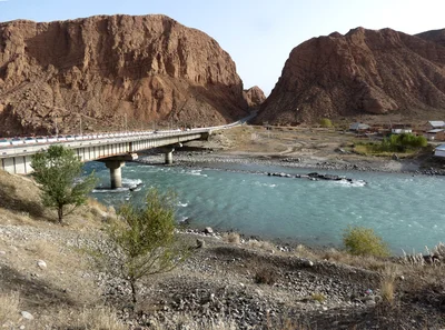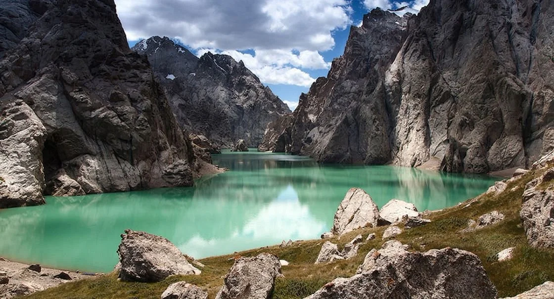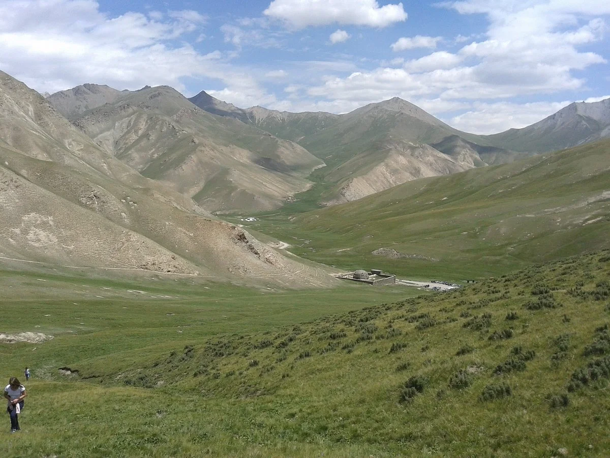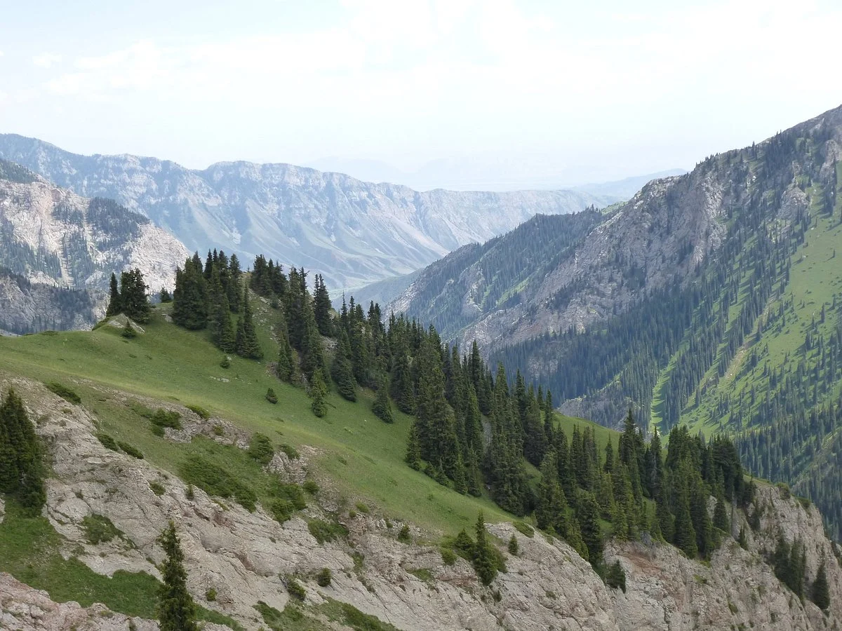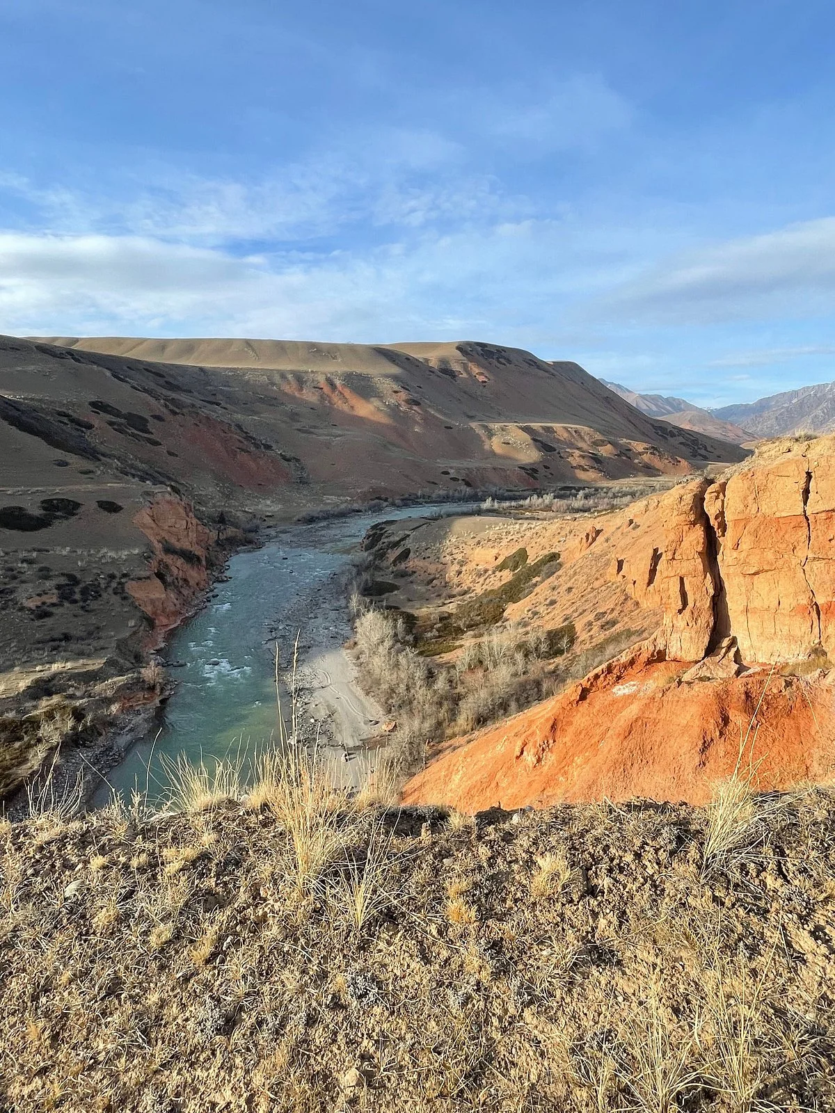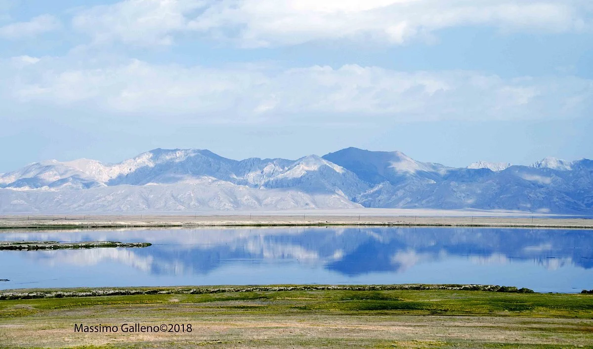
Naryn Region (Kyrgyz: Нарын облусу, romanized: Naryn oblusu; Russian: Нарынская область, romanized: Narynskaya oblast) is the largest region (oblus) of Kyrgyzstan. It is located in the east of the country and borders with Chüy Region in the north, Issyk-Kul Region in the northeast, Xinjiang Uyghur Autonomous Region of China in the southeast, Osh Region in the southwest, and Jalal-Abad Region in the west. Its capital is Naryn. Its total area is 44,160 km2 (17,050 sq mi). The resident population of the region was 292,140 as of January 2021.The main highway runs from the Chinese border at Torugart Pass north to Balykchy on Issyk-Kul Lake. It is known as the location of Song Köl Lake and Chatyr-Kul Lake and Tash Rabat.
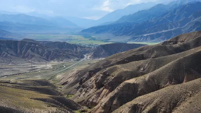
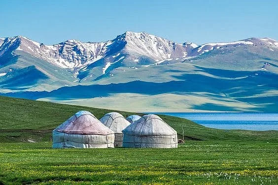
The population of Naryn oblast is 99% Kyrgyz. The economy is dominated by animal herding (sheep, horses, yaks), with wool and meat as the main products. Mining of various minerals developed during the Soviet era has largely been abandoned as uneconomical. It boasts mountains, alpine pastures, and Song Köl Lake which during summer months attracts large herds of sheep and horses with their herders and yurts.
As of 2018 both local taxi drivers and CBT quote a price of 2,000 soms for a return trip, including the driver waiting. The drive to Tash Rabat takes 2 hr. It's also possible to sleep there at a handful of yurt camps in the summer season, which is highly recommended if you plan on going hiking the following day. The 2018 price list by CBT charges the following: B&B 600 som per person per night, horse rental 800 som per horse per day, a guide 1,600 som per day, lunch or dinner 400 som per meal. It might be possible to negotiate a lower price with locals when not booking through CBT. — Directions: use Naryn as a hub
No information available
No information available
Kochkor is served by frequent marshrutkas from Bishkek and Balykchy.
To get to Naryn, you might have to rely on shared taxis.
From the west there are virtually no regular connections, but starting in the Suusamyr Valley (in the Northwest) the road towards Kochkor allows travel by car, taxi and thumb into the region.
To get around, you might have to rely on your own car or shared taxis. But frequent traffic in form of trucks exists between Kochkor, Naryn and the Torugart Pass, which allows for easy hitchhiking.
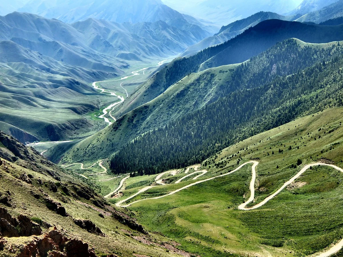
Naryn Region is the largest, poorest, most remote but also most typically Kyrgyz region. Boasting so many superlatives it has beautiful mountains, alpine pastures and the picturesque Son-Kul Lake which attracts large herds of sheep and horses with their herders and their yurts in summer, since the region is dominated by animal herding.