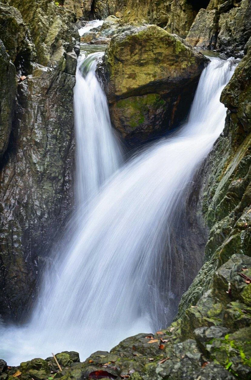
Rizal, officially the Province of Rizal (Filipino: Lalawigan ng Rizal), is a province in the Philippines located in the Calabarzon region in Luzon. Its capital is the city of Antipolo. It is about 16 kilometers (9.9 mi) east of Manila. The province is named after José Rizal, one of the main national heroes of the Philippines. It is bordered by Metro Manila to the west, Bulacan to the north, Quezon to the east and Laguna to the southeast. The province also lies on the northern shores of Laguna de Bay, the largest lake in the country. Rizal is a mountainous province perched on the western slopes of the southern portion of the Sierra Madre mountain range.
Antipolo serves as the provincial capital since 2020, having been an administrative center since 2009 with the capitol located in the city. Previously, Pasig served as the capital, a designation it retained even after becoming part of the National Capital Region in 1975.The province is a part of Greater Manila Area. It is the 5th largest province in the Philippines in terms of population.
No information available
The nearest airport is Ninoy Aquino International Airport, but getting to Rizal from the airport is rather bewildering; you will have to get by Manila's notorious traffic and inefficient public transport. Bus service is severely lacking to serve most corners in Rizal, so you might need a car to cover everything not covered well by a jeepney.
Rizal's roads are notoriously small, crowded, and winding due to its geography, and public transportation is severely lacking once you head east. Driving around the province (by car or motorcycle) is much practical.
Bus service is severely lacking on most of the province. Jeepneys mostly provide most service in much of the province, but are in short supply at eastern Rizal.
The major highway through Rizal is Manila East Road, which runs east to west from the boundary with Laguna toward the suburban areas of Cainta and Taytay. While most of it has been widened to four lanes and sections through town centers have been bypassed, traffic is fairly slow.
The Marcos Highway (aka the Marilaque Highway), which crosses the Sierra Madre mountain range and leads to Infanta (Quezon Province, serves the central part of the province; it is a favorite route by motorcyclists with its climate and its winding route, but crashes occur often especially on its hairpin curves.
Used to be a large province which hugged the north coastline of the Laguna de Bay, Rizal now forms half of what it used to be. Named after the national hero, Jose Rizal, the province hugs on the rugged Sierra Madre, which encouraged mass settlement on the lakeside and on the foothills. It is surrounded by Metro Manila to the west, Bulacan to the north, Quezon to the east, and Laguna and the Laguna de Bay to the south. Situated at the heart of the Tagalog homeland (Katagalugan), Rizal is culturally and linguistically Tagalog; much of the province's inhabitants are Tagalog speakers, except for a very small minority of Ilocano and Bicolano migrants.