See • • Bala-Hala Forest — Suan Pa Phra Namaphithai Phak Tai, Section Two (สวนป่าพระนาภิไธยภาคใต้ ส่วนที่ 2) is a lush rain forest with many rare plants and wildlife, especially birds. It is also the habitat of the Sakai. This forest occupies a large area at the boundary of Yala and Narathiwat Districts.
• • Betong Hot Spring — At the hottest spot, eggs are cooked in seven minutes. A hot spring shower is also available. It is believed that hot spring can cure muscle pain and minor skin irritation. — Address: Ban Charo Parai Village, Tano Mae Ro — Directions: About 5 km before reaching Betong city centre, turn right from Hwy 410 for another 8 km into the village
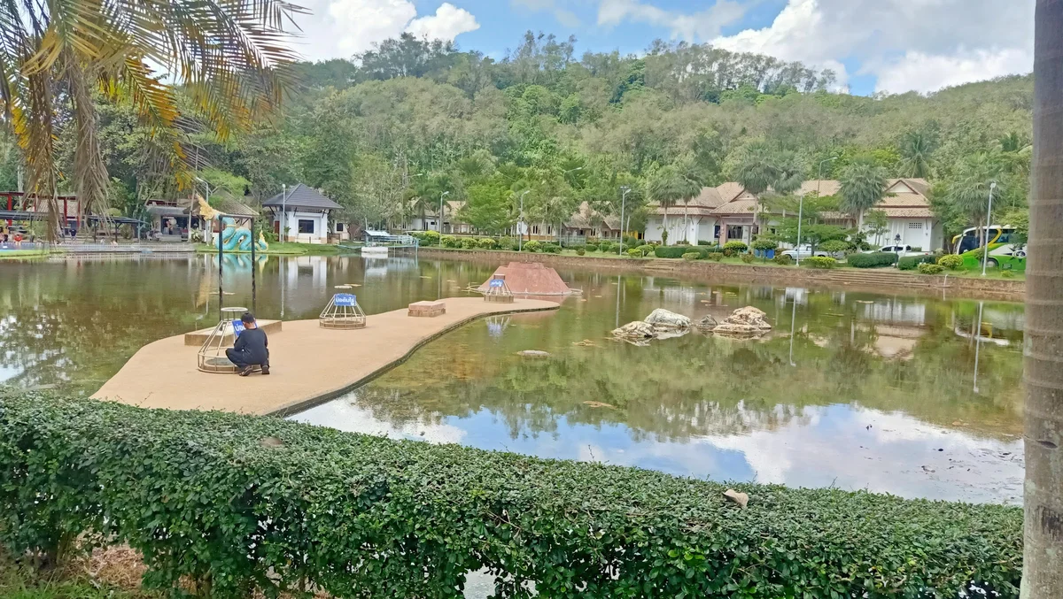
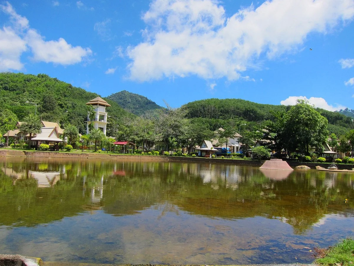
• • Betong Municipality Park — Occupies an area of about 120 km² on a hill in the middle of Betong city centre. It is the overlook for the city, consisting of an ornamental plants and flowering plants garden, aviary, health garden, a sports ground, a swimming pool, and a playground. It is suitable for recreation and exercising. If one travels on Sukyang Road for seven kilometres from the park, one will reach the southernmost point of Thailand with a road connection to Malaysia.
• • Chaloem Phra Kiat Ro Kao Waterfall — The waterfall is more than 30 m high, surrounded by lush forest. — Address: Ai Yoe Weng — Directions: Turn right off Hwy 410, between Than To and Betong at km 32-33, onto the dirt road for 3km
• • Inthason Waterfall — A small waterfall with lush forest and pools for swimming and relaxing. — Directions: About 15km from Betong city centre, or about 2km beyond the hot spring
• • The Largest Mail Box in Thailand — Used to be at the Bell Tower intersection of Betong. It was built in 1924 before World War II as the communication post for the townspeople, through the radio implanted on top of the box, and the mail slot below it. A new box has been built in a larger size (nine metres high), and is at the City Convention Hall (ศาลาประชาคม Sala Prachakhom). The new mail box attracts a large number of tourists who come to take photographs. — Directions: City Convention Hall
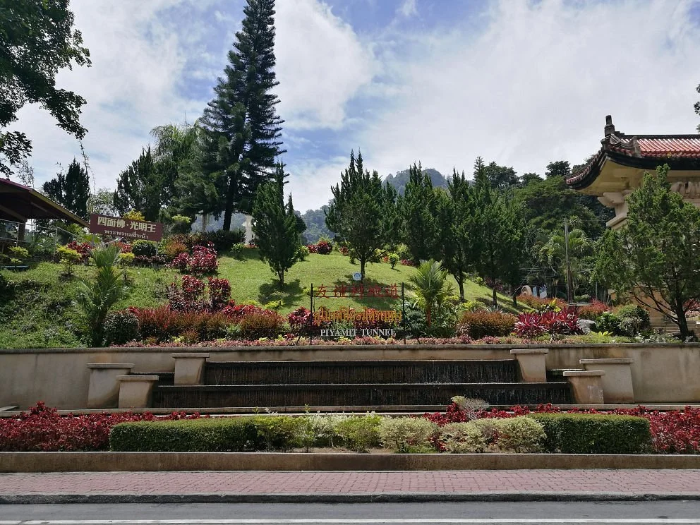
• • Piyamit Tunnel — This area was once the base of Malaya Communist Division 2. The tunnel was built in three months in 1976, winding through the mountain for about 1 km, about 15-18 m wide with multiple entrances. It was used as the air raid shelter and food storage area. There is an exhibition about its history including the way of life in the forest. — Address: Ban Piyamit 1, Tano Mae Ro — Directions: About five kilometres before reaching Betong city centre, turn right from Hwy 410 for another 8 km into the village, then go another 4 km — Hours: 08:00-16:30
• • Phra Mahathat Chedi Phra Phutthathammaprakat — This chedi was built in the modern Srivijaya-style, covered in gold. It is 40 m high, built to commemorate the 69th birthday of the queen. From the chedi one can see all of the temple ground and part of Betong city centre. — Address: Rattanakit Rd — Directions: On a hilltop in Betong city centre, on the grounds of Wat Phutthathiwat
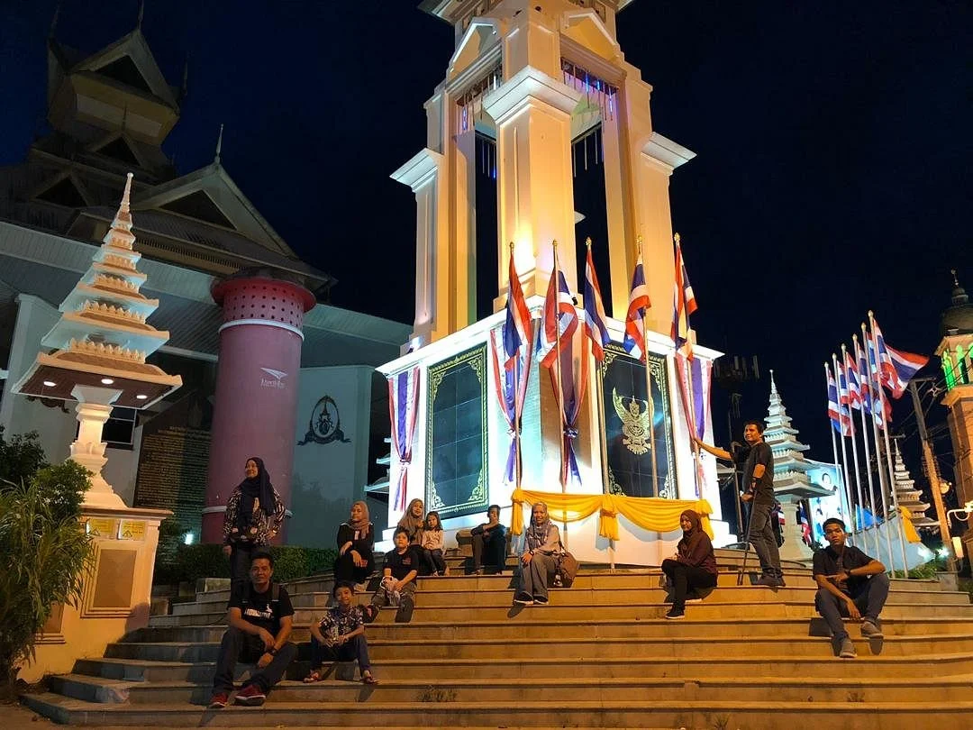
• • Swifts — At dusk swifts fly about the city centre and come to rest at houses, on buildings and on power lines, especially on the Bell Tower that is well-lit at night. They have become one of Betong's symbols, although they are present only during the cool season when they flee from the cold weather of Siberia, usually from September to March.
Read more