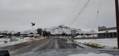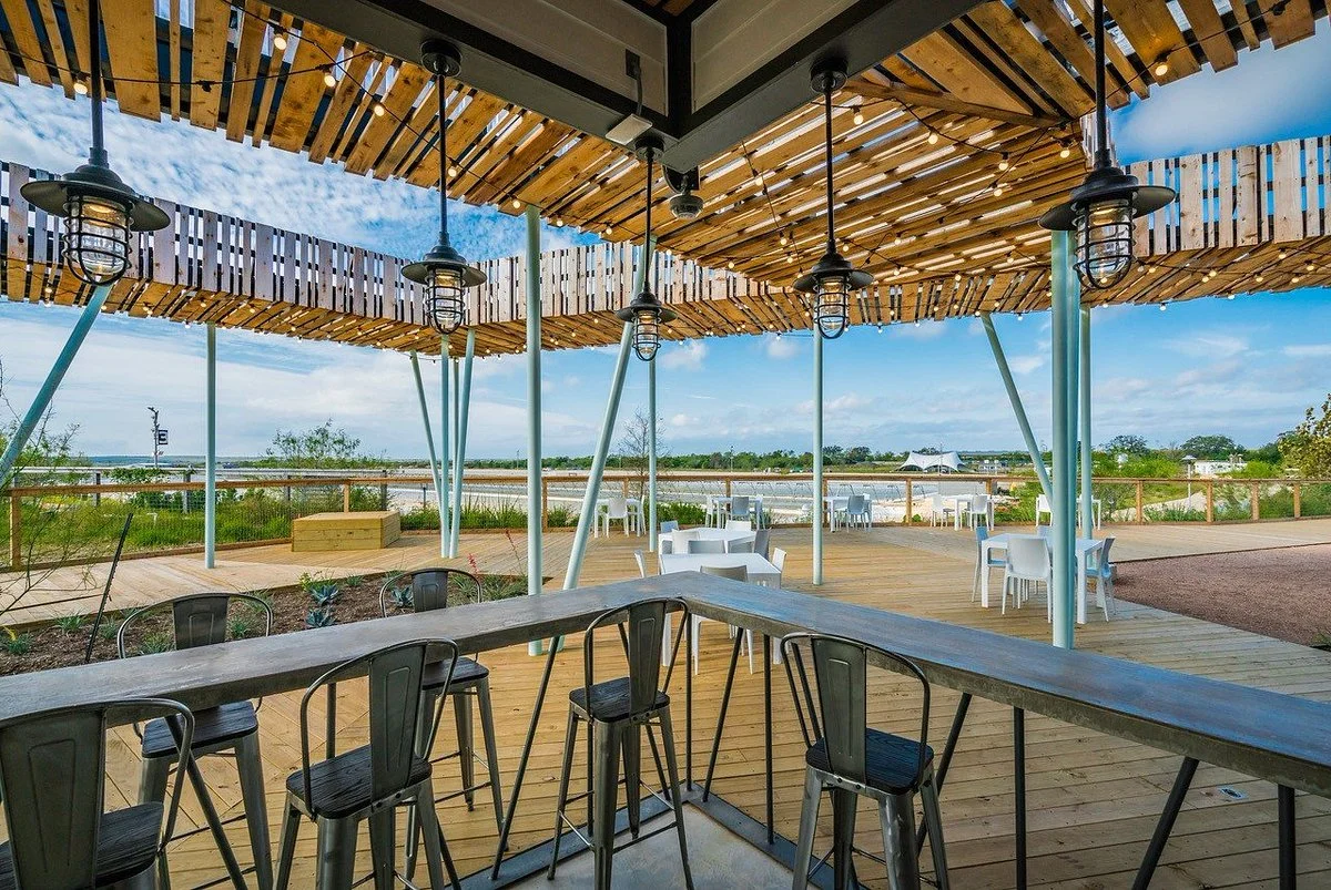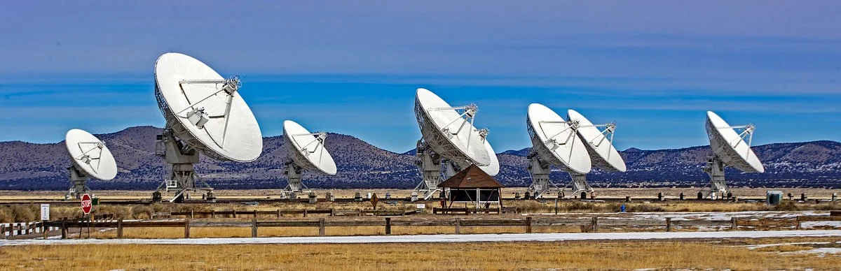
Socorro (, sə-KOR-oh) is a city in Socorro County in the U.S. state of New Mexico. It is in the Rio Grande Valley at an elevation of 4,579 feet (1,396 m). In 2010 the population was 9,051. It is the county seat of Socorro County. Socorro is located 74 miles (119 km) south of Albuquerque and 146 miles (235 km) north of Las Cruces.
The instruments used by the LINEAR program are located at Lincoln Laboratory's Experimental Test Site (ETS) on the White Sands Missile Range (WSMR) near Socorro, New Mexico.
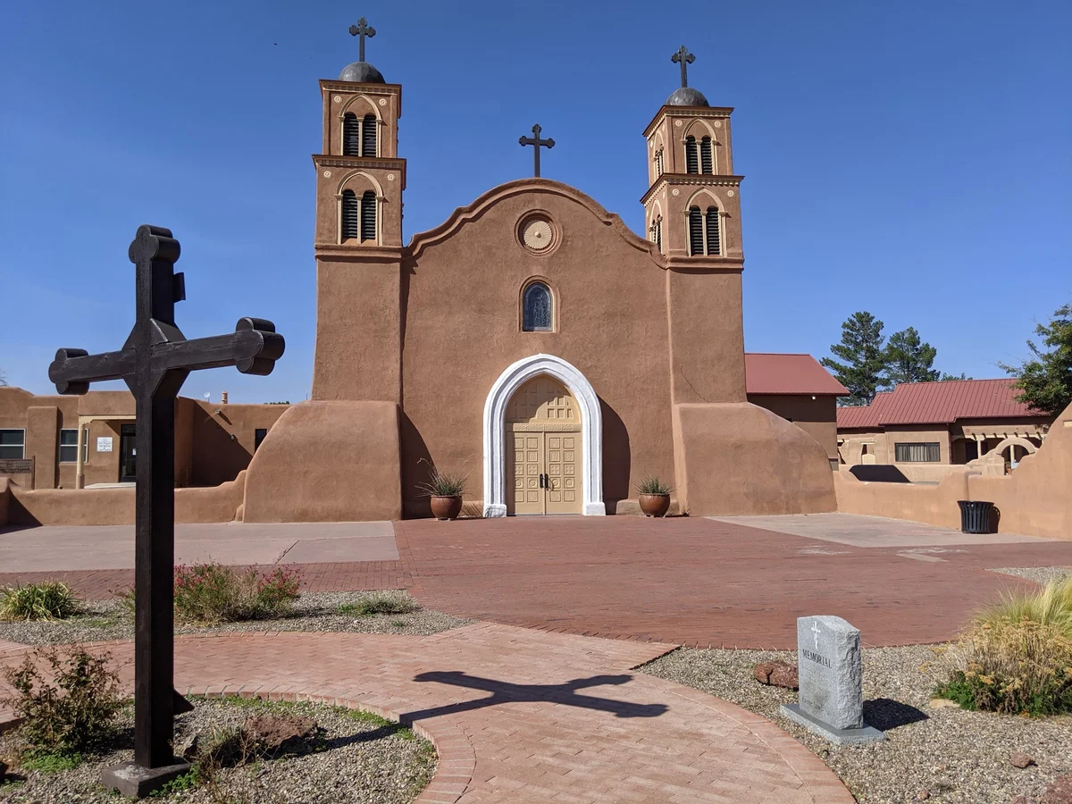
Most of the interest in the Socorro region is outside town and is covered in the "Get out" section, but a couple of in-town points of interest:
No information available
California Avenue, the main drag north-south through town paralleling I-25, has the usual assortment of chain motels and motor lodges (EconoLodge, Super 8, Motel 6, Days Inn, etc.), mostly serviceable, none exceptional. The Best Western Socorro Hotel & Suites, 1100 California Ave NE, +1 575 838-0556, has more amenities than most and is comfortable. Lodging in Socorro tends to be tight around the Festival of the Cranes, the second or third weekend of May when New Mexico Tech has its graduation, and also in early October when the overflow from the Albuquerque International Balloon Fiesta reaches town, but otherwise is usually not hard to get.
The nearest airport with commercial air service is in Albuquerque, about 70 miles north. The nearest train (Amtrak) station is also in Albuquerque. Buses run between Albuquerque and El Paso, Texas with a stop in Socorro.
If you're driving to Socorro, access from Albuquerque and El Paso is via Interstate highway 25, with uniformly good road and full services every 50 miles or so. If approaching from the east (US 380) or west (US 60), however, gas stations are few and far between, so plan accordingly.
There's not much town to get around in, but the motels along California Avenue do sprawl somewhat and the stores there are some distance from Tech. A bicycle is handy for Tech students, although other visitors are unlikely to need transportation other than what got them to town. Bosque del Apache National Wildlife Refuge (see below) is 15 miles away along a road that is pleasant for cycling (although somewhat narrow -- be on the alert for recklessly driven vehicles); most other outlying attractions are far enough away to be best reached by car.