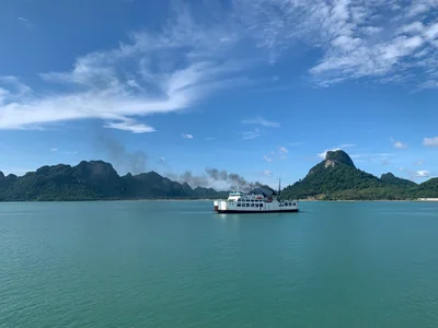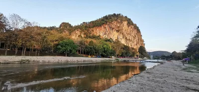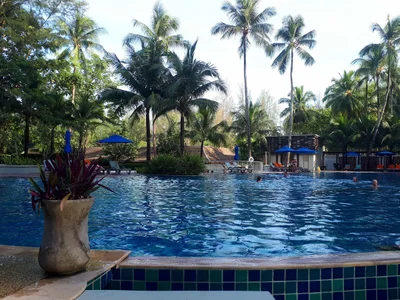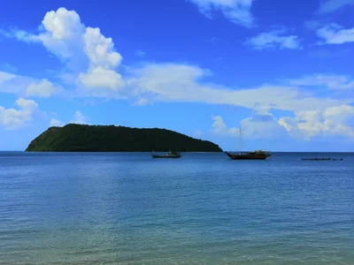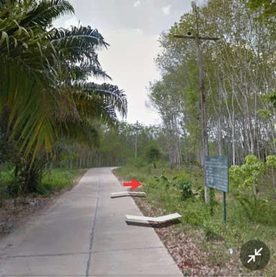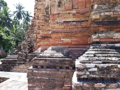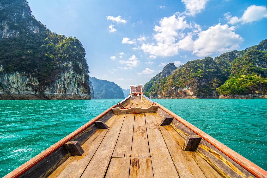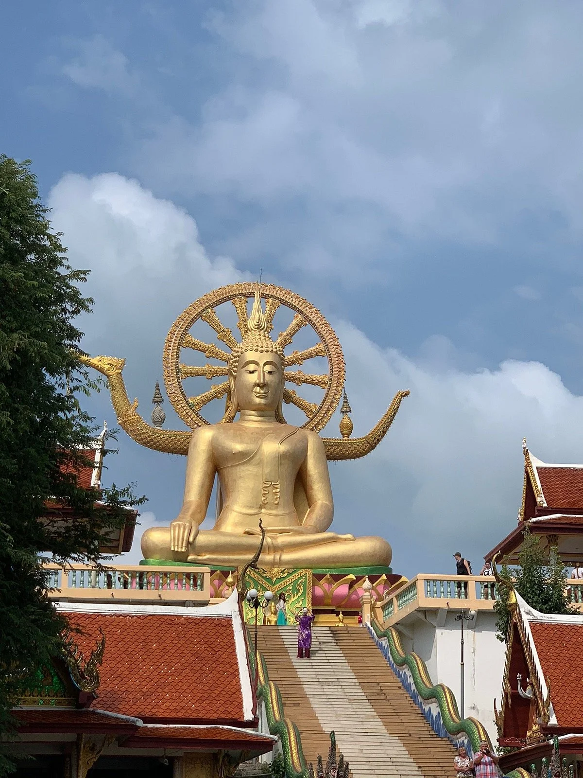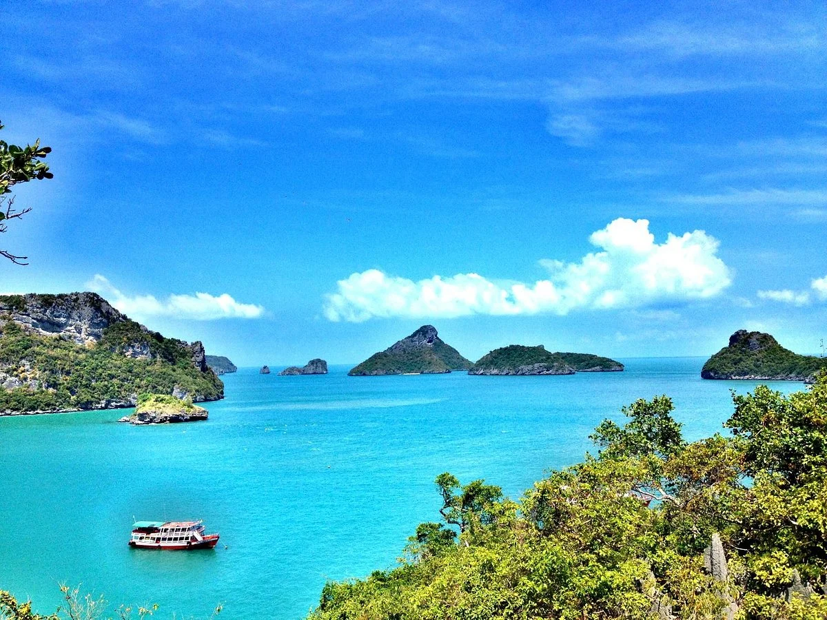
Surat Thani Province includes the mainland around the Tapi River, Khao Sok's forest and lake landscapes, and Gulf islands such as Ko Samui, Ko Pha Ngan and Ko Tao. Plan road and ferry connections together, with time for weather-related changes.
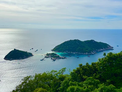
Ko Tao (Thai: เกาะเต่า, pronounced [kɔ̀ʔ tàw], lit. Turtle Island) is an island in Thailand and is part of the Chumphon Archipelago on the western shore of the Gulf of Thailand. It covers an area of about 21 km2 (8 sq mi). Administratively it is a subdistrict (tambon) of Ko Pha-ngan District (amphoe) of Surat Thani Province. As of 2006, its official population was 1,382. The main settlement is Ban Mae Haad. The economy of the island is almost exclusively centered on tourism, especially scuba diving. Scuba diving is extremely popular in Ko Tao due to clear visibility, inexpensive pricing, warm
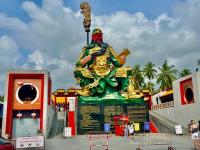
Ko Samui (or Koh Samui, also often locally shortened to Samui; Thai: เกาะสมุย, pronounced [kɔ̀ʔ sā.mǔj]) is an island off the east coast of Thailand. Geographically in the Chumphon Archipelago, it is part of Surat Thani Province, though as of 2012, Ko Samui was granted municipal status and thus is now locally self-governing. Ko Samui, with an area of 228.7 square kilometres (88.3 sq mi), is Thailand's second largest island after Phuket. In 2018, it was visited by 2.7 million tourists.
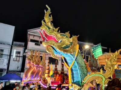
Surat Thani is a city in southern Thailand and the capital of Surat Thani Province, near the mouth of the Tapi River on the Gulf of Thailand.